
Laasen topographic map
Interactive map
Click on the map to display elevation.
About this map
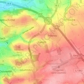
Name: Laasen topographic map, elevation, terrain.
Location: Laasen, Gera, Thüringen, 07554, Deutschland (50.87287 12.10194 50.91287 12.14194)
Average elevation: 899 ft
Minimum elevation: 656 ft
Maximum elevation: 1,040 ft