
Lille Terneholmen topographic map
Interactive map
Click on the map to display elevation.
About this map
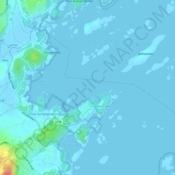
Name: Lille Terneholmen topographic map, elevation, terrain.
Location: Lille Terneholmen, Hasseltangen, Grimstad, Agder, Norwegen (58.39453 8.71986 58.39497 8.72061)
Average elevation: 10 ft
Minimum elevation: -13 ft
Maximum elevation: 171 ft