
Doya La topographic map
Interactive map
Click on the map to display elevation.
About this map
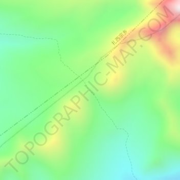
Name: Doya La topographic map, elevation, terrain.
Location: Doya La, 曲当乡, དིང་རི་རྫོང་ 定日县, 日喀则市, Tibet, Chine (28.23948 87.11870 28.23958 87.11880)
Average elevation: 16,759 ft
Minimum elevation: 15,883 ft
Maximum elevation: 18,396 ft