
Pig's Eye Island Heron Rookery SNA topographic map
Interactive map
Click on the map to display elevation.
About this map
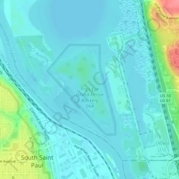
Name: Pig's Eye Island Heron Rookery SNA topographic map, elevation, terrain.
Average elevation: 725 ft
Minimum elevation: 679 ft
Maximum elevation: 942 ft