
Yecla topographic map
Interactive map
Click on the map to display elevation.
About this map
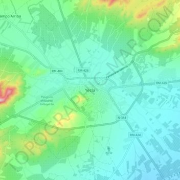
Name: Yecla topographic map, elevation, terrain.
Location: Yecla, Plateau, Région de Murcie, 30510, Espagne (38.57365 -1.15574 38.65365 -1.07574)
Average elevation: 2,051 ft
Minimum elevation: 1,798 ft
Maximum elevation: 3,025 ft