
Make a donation
Gear up for your next adventure:
As an Amazon Associate, this site earns from qualifying purchases at no extra cost to you.
Badger topographic map
Click on the map to display elevation.
Make a donation
Gear up for your next adventure:
As an Amazon Associate, this site earns from qualifying purchases at no extra cost to you.
About this map
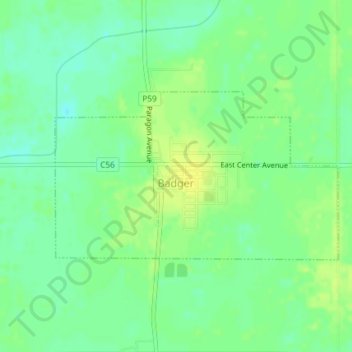
Name: Badger topographic map, elevation, terrain.
Location: Badger, Badger Township, Webster County, Iowa, United States (42.60852 -94.15878 42.62143 -94.12922)
Average elevation: 1,132 ft
Minimum elevation: 1,099 ft
Maximum elevation: 1,161 ft
Webster County trails, hiking, mountain biking, running and outdoor activities
Make a donation
Gear up for your next adventure:
As an Amazon Associate, this site earns from qualifying purchases at no extra cost to you.
Other topographic maps
Click on a map to view its topography, its elevation and its terrain.
Fort Dodge
United States > Iowa > Webster County > Fort Dodge > Fort Dodge
Average elevation: 1,129 ft