
Augusta topographic map
Interactive map
Click on the map to display elevation.
About this map
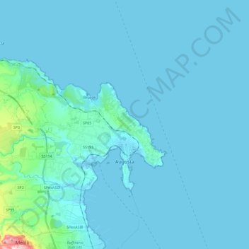
Name: Augusta topographic map, elevation, terrain.
Location: Augusta, Syracuse, Sicile, 96012, Italie (37.18231 15.03245 37.34434 15.25802)
Average elevation: 161 ft
Minimum elevation: -7 ft
Maximum elevation: 1,476 ft