
马宗乡 topographic map
Interactive map
Click on the map to display elevation.
About this map
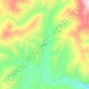
Name: 马宗乡 topographic map, elevation, terrain.
Location: 马宗乡, 凉山彝族自治州, 会理县, 四川省, 中国 (26.80276 102.41405 26.84276 102.45405)
Average elevation: 7,904 ft
Minimum elevation: 6,896 ft
Maximum elevation: 9,157 ft