
石嘴山市 topographic map
Interactive map
Click on the map to display elevation.
About this map
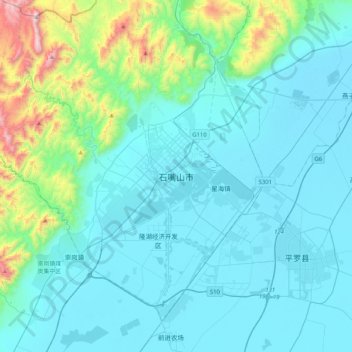
Name: 石嘴山市 topographic map, elevation, terrain.
Location: 石嘴山市, 大武口区, 石嘴山市, 宁夏回族自治区, 中国 (38.82685 106.21720 39.14685 106.53720)
Average elevation: 4,147 ft
Minimum elevation: 3,573 ft
Maximum elevation: 7,808 ft
Other topographic maps
Click on a map to view its topography, its elevation and its terrain.