空港東 topographic map
Interactive map
Click on the map to display elevation.
About this map
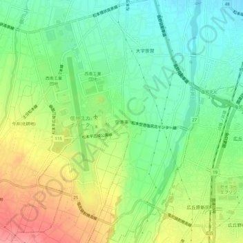
Name: 空港東 topographic map, elevation, terrain.
Average elevation: 2,139 ft
Minimum elevation: 2,021 ft
Maximum elevation: 2,316 ft

Click on the map to display elevation.
Name: 空港東 topographic map, elevation, terrain.
Average elevation: 2,139 ft
Minimum elevation: 2,021 ft
Maximum elevation: 2,316 ft