
Izel topographic map
Interactive map
Click on the map to display elevation.
About this map
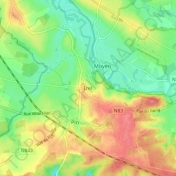
Name: Izel topographic map, elevation, terrain.
Location: Izel, Luxembourg, Wallonia, 6810, Belgium (49.67399 5.35478 49.71399 5.39478)
Average elevation: 1,099 ft
Minimum elevation: 991 ft
Maximum elevation: 1,230 ft