
Midway topographic map
Interactive map
Click on the map to display elevation.
About this map
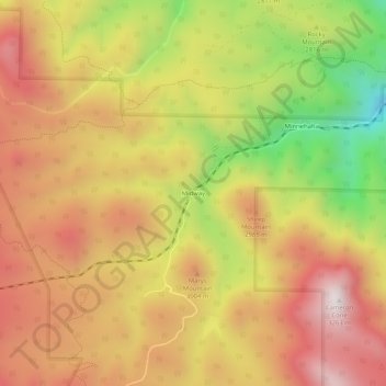
Name: Midway topographic map, elevation, terrain.
Location: Midway, El Paso County, Colorado, United States of America (38.82249 -104.99387 38.86249 -104.95387)
Average elevation: 9,377 ft
Minimum elevation: 7,671 ft
Maximum elevation: 10,633 ft