
Matahuasi topographic map
Interactive map
Click on the map to display elevation.
About this map
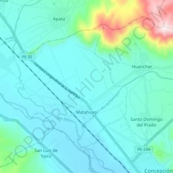
Name: Matahuasi topographic map, elevation, terrain.
Location: Matahuasi, Provincia de Concepción, Junín, Perú (-11.90924 -75.40100 -11.85681 -75.32663)
Average elevation: 11,004 ft
Minimum elevation: 10,689 ft
Maximum elevation: 12,674 ft