
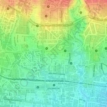
Pasirkaliki topographic map
Interactive map
Click on the map to display elevation.
About this map
Name: Pasirkaliki topographic map, elevation, terrain.
Location: Pasirkaliki, Cicendo, Bandung, West Java, 40171, Indonesia (-6.91460 107.59740 -6.90029 107.60472)
Average elevation: 2,392 ft
Minimum elevation: 2,300 ft
Maximum elevation: 2,510 ft