
Lac de Tseuzier / Lac du Rawil topographic map
Interactive map
Click on the map to display elevation.
About this map
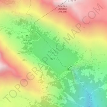
Name: Lac de Tseuzier / Lac du Rawil topographic map, elevation, terrain.
Average elevation: 6,598 ft
Minimum elevation: 4,268 ft
Maximum elevation: 9,163 ft