
Staßfurt topographic map
Interactive map
Click on the map to display elevation.
About this map
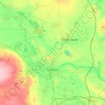
Name: Staßfurt topographic map, elevation, terrain.
Location: Staßfurt, Salzlandkreis, Saxe-Anhalt, Allemagne (51.79756 11.49526 51.95742 11.74361)
Average elevation: 282 ft
Minimum elevation: 102 ft
Maximum elevation: 597 ft