
Trijueque topographic map
Interactive map
Click on the map to display elevation.
About this map
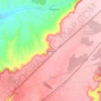
Name: Trijueque topographic map, elevation, terrain.
Location: Trijueque, Guadalajara, Castile-La Mancha, Spain (40.74533 -3.03002 40.80907 -2.92443)
Average elevation: 3,035 ft
Minimum elevation: 2,418 ft
Maximum elevation: 3,353 ft