
Glorieta topographic map
Interactive map
Click on the map to display elevation.
About this map
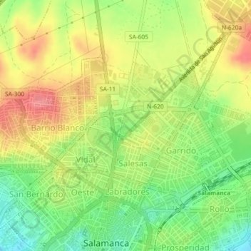
Name: Glorieta topographic map, elevation, terrain.
Location: Glorieta, Salamanca, Castile and León, Spain (40.97588 -5.66331 40.97968 -5.65742)
Average elevation: 2,703 ft
Minimum elevation: 2,569 ft
Maximum elevation: 2,838 ft