
埠子镇 topographic map
Interactive map
Click on the map to display elevation.
About this map
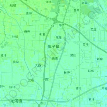
Name: 埠子镇 topographic map, elevation, terrain.
Location: 埠子镇, Sucheng, Suqian, Jiangsu, China (33.75882 118.17887 33.85987 118.27514)
Average elevation: 69 ft
Minimum elevation: 59 ft
Maximum elevation: 79 ft