
Bola topographic map
Interactive map
Click on the map to display elevation.
About this map
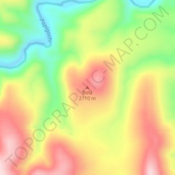
Name: Bola topographic map, elevation, terrain.
Location: Bola, Temósachic, Chihuahua, México (28.97725 -107.89620 28.97735 -107.89610)
Average elevation: 6,558 ft
Minimum elevation: 6,014 ft
Maximum elevation: 7,073 ft
Other topographic maps
Click on a map to view its topography, its elevation and its terrain.
El Cinco
México > Chihuahua > Temósachic
El Cinco, Temósachic, Chihuahua, México
Average elevation: 8,245 ft