
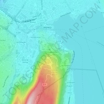
La Petite Jeanne topographic map
Interactive map
Click on the map to display elevation.
About this map
Name: La Petite Jeanne topographic map, elevation, terrain.
Average elevation: 1,634 ft
Minimum elevation: 1,394 ft
Maximum elevation: 2,802 ft
Other topographic maps
Click on a map to view its topography, its elevation and its terrain.
Seynod
France > Auvergne-Rhône-Alpes > Upper Savoy > Annecy
Seynod, Annecy, Upper Savoy, Auvergne-Rhône-Alpes, Metropolitan France, 74600, France
Average elevation: 2,136 ft