
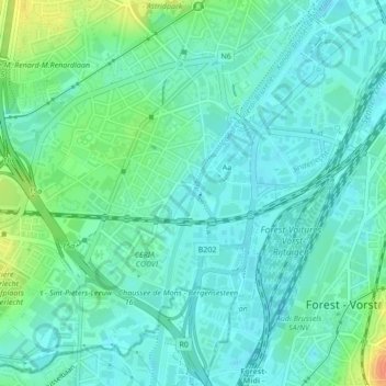
Écluse d'Anderlecht topographic map
Interactive map
Click on the map to display elevation.
About this map
Name: Écluse d'Anderlecht topographic map, elevation, terrain.
Average elevation: 92 ft
Minimum elevation: 56 ft
Maximum elevation: 194 ft
Other topographic maps
Click on a map to view its topography, its elevation and its terrain.
Aa
Belgique > Bruxelles-Capitale > Anderlecht > Aa
Aa, La Roue, Aa, Anderlecht, Bruxelles-Capitale, 1070, Belgique
Average elevation: 92 ft