
Ashoka Garden topographic map
Interactive map
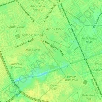
Click on the map to display elevation.
About this map
Name: Ashoka Garden topographic map, elevation, terrain.
Average elevation: 715 ft
Minimum elevation: 676 ft
Maximum elevation: 732 ft
Other topographic maps
Click on a map to view its topography, its elevation and its terrain.
Bapa Nagar
India > Delhi > Civil Lines Tehsil
Bapa Nagar, Anand Parbat, Civil Lines Tehsil, Central Delhi District, Delhi, India
Average elevation: 758 ft
Delhi University (North Campus)
India > Delhi > Civil Lines Tehsil
Delhi University (North Campus), Civil Lines Tehsil, Central Delhi, Delhi, India
Average elevation: 719 ft