
Vemulavalasa topographic map
Interactive map
Click on the map to display elevation.
About this map
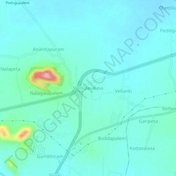
Name: Vemulavalasa topographic map, elevation, terrain.
Average elevation: 112 ft
Minimum elevation: 30 ft
Maximum elevation: 614 ft
Other topographic maps
Click on a map to view its topography, its elevation and its terrain.
Anandapuram
India > Andhra Pradesh > Anandapuram
Anandapuram, Visakhapatnam District, Andhra Pradesh, 530052, India
Average elevation: 108 ft
Gudilova
India > Andhra Pradesh > Anandapuram > Gudilova
Gudilova, Anandapuram, Visakhapatnam, Andhra Pradesh, 530052, India
Average elevation: 344 ft