
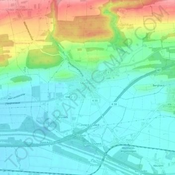
Müllheim topographic map
Interactive map
Click on the map to display elevation.
About this map
Name: Müllheim topographic map, elevation, terrain.
Location: Müllheim, Bezirk Frauenfeld, Thurgau, 8555, Switzerland (47.58139 8.98203 47.62046 9.02916)
Average elevation: 1,434 ft
Minimum elevation: 1,306 ft
Maximum elevation: 1,765 ft
Other topographic maps
Click on a map to view its topography, its elevation and its terrain.
Frauenfeld
Switzerland > Thurgau > Bezirk Frauenfeld
Frauenfeld, Bezirk Frauenfeld, Thurgau, Switzerland
Average elevation: 1,506 ft