
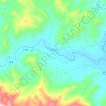
Río Telica topographic map
Interactive map
Click on the map to display elevation.
About this map
Name: Río Telica topographic map, elevation, terrain.
Location: Río Telica, Silca, Olancho, Honduras (14.80766 -86.55263 14.82610 -86.47819)
Average elevation: 2,362 ft
Minimum elevation: 1,765 ft
Maximum elevation: 4,219 ft