
Santa Barbara topographic map
Interactive map
Click on the map to display elevation.
About this map
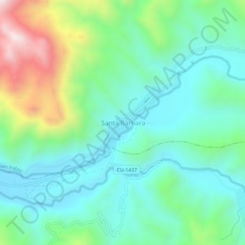
Name: Santa Barbara topographic map, elevation, terrain.
Location: Santa Barbara, Canchis, Cuzco, Perú (-14.18886 -71.21941 -14.14886 -71.17941)
Average elevation: 13,497 ft
Minimum elevation: 12,841 ft
Maximum elevation: 15,282 ft