
Tiège topographic map
Interactive map
Click on the map to display elevation.
About this map
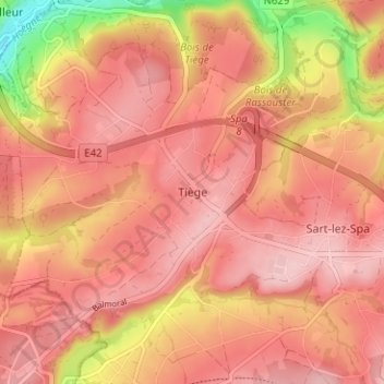
Name: Tiège topographic map, elevation, terrain.
Location: Tiège, Jalhay, Verviers, Liège, Wallonie, 4845, Belgique (50.50125 5.88965 50.54125 5.92965)
Average elevation: 1,102 ft
Minimum elevation: 699 ft
Maximum elevation: 1,266 ft