
Camata topographic map
Interactive map
Click on the map to display elevation.
About this map
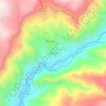
Name: Camata topographic map, elevation, terrain.
Location: Camata, General Sánchez Cerro, Moquegua, Perú (-16.23377 -70.73549 -16.19377 -70.69549)
Average elevation: 12,605 ft
Minimum elevation: 11,325 ft
Maximum elevation: 14,085 ft