
Kensington Grove topographic map
Interactive map
Click on the map to display elevation.
About this map
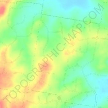
Name: Kensington Grove topographic map, elevation, terrain.
Location: Kensington Grove, Hatton Vale, Queensland, Australia (-27.54194 152.46166 -27.52194 152.48166)
Average elevation: 315 ft
Minimum elevation: 223 ft
Maximum elevation: 430 ft
Other topographic maps
Click on a map to view its topography, its elevation and its terrain.
Hatton Vale
Australia > Queensland > Hatton Vale
Hatton Vale, Queensland, 4341, Australia
Average elevation: 394 ft