
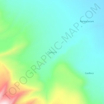
Queani topographic map
Interactive map
Click on the map to display elevation.
About this map
Name: Queani topographic map, elevation, terrain.
Location: Queani, Province of Tarata, Tacna, Peru (-17.37854 -69.79789 -17.33854 -69.75789)
Average elevation: 14,508 ft
Minimum elevation: 14,127 ft
Maximum elevation: 15,574 ft