
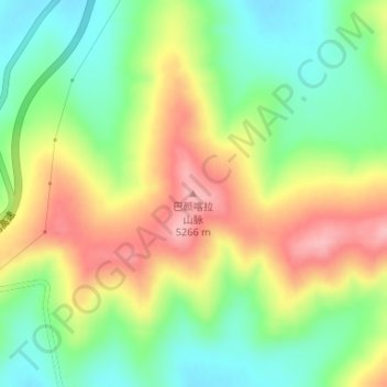
Bayan-Har-Gebirge topographic map
Interactive map
Click on the map to display elevation.
About this map
Name: Bayan-Har-Gebirge topographic map, elevation, terrain.
Location: Bayan-Har-Gebirge, 玛多县, རྨ་སྟོད་རྫོང་ 玛多县, 果洛州, Qinghai, China (34.72622 98.21001 34.72632 98.21011)
Average elevation: 14,121 ft
Minimum elevation: 13,845 ft
Maximum elevation: 14,432 ft