
Dolembreux topographic map
Interactive map
Click on the map to display elevation.
About this map
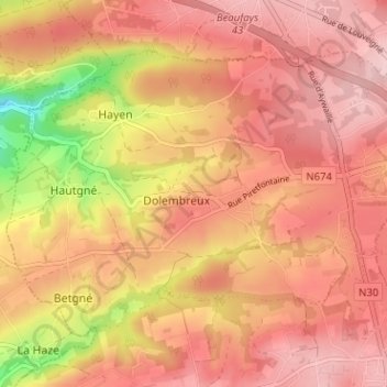
Name: Dolembreux topographic map, elevation, terrain.
Location: Dolembreux, Sprimont, Luik, Wallonië, 4140, België (50.52270 5.59724 50.55244 5.66066)
Average elevation: 778 ft
Minimum elevation: 354 ft
Maximum elevation: 971 ft
Other topographic maps
Click on a map to view its topography, its elevation and its terrain.