
Urbino topographic map
Interactive map
Click on the map to display elevation.
About this map
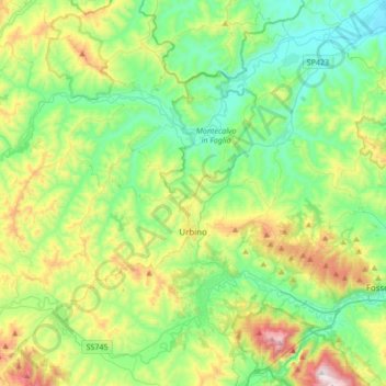
Name: Urbino topographic map, elevation, terrain.
Location: Urbino, Pesaro e Urbino, Marches, Italie (43.66130 12.43501 43.84021 12.77380)
Average elevation: 988 ft
Minimum elevation: 98 ft
Maximum elevation: 3,176 ft
Other topographic maps
Click on a map to view its topography, its elevation and its terrain.
Monte Perone
Italie > Marches > Pesaro e Urbino > Cantiano
Monte Perone, Cantiano, Pesaro e Urbino, Marches, Italie
Average elevation: 2,507 ft