
Magbosie topographic map
Interactive map
Click on the map to display elevation.
About this map
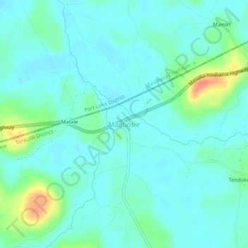
Name: Magbosie topographic map, elevation, terrain.
Location: Magbosie, Tonkolili District, Northern Province, Sierra Leone (8.43917 -12.51918 8.47917 -12.47918)
Average elevation: 203 ft
Minimum elevation: 164 ft
Maximum elevation: 338 ft