
Ilztal topographic map
Interactive map
Click on the map to display elevation.
About this map
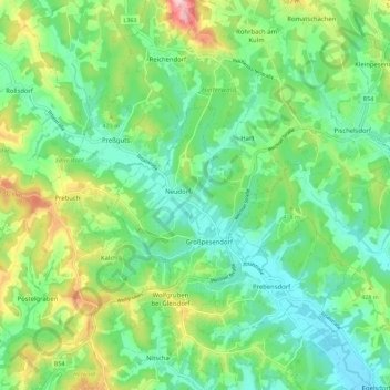
Name: Ilztal topographic map, elevation, terrain.
Location: Ilztal, Bezirk Weiz, Steiermark, 8211, Österreich (47.12167 15.71206 47.19862 15.80473)
Average elevation: 1,296 ft
Minimum elevation: 1,043 ft
Maximum elevation: 1,867 ft