
Gröden topographic map
Interactive map
Click on the map to display elevation.
About this map
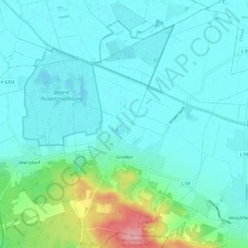
Name: Gröden topographic map, elevation, terrain.
Location: Gröden, Schradenland, Elbe-Elster, Brandenburg, Duitsland (51.38368 13.54841 51.44076 13.64222)
Average elevation: 348 ft
Minimum elevation: 282 ft
Maximum elevation: 669 ft