
Goongerah topographic map
Interactive map
Click on the map to display elevation.
About this map
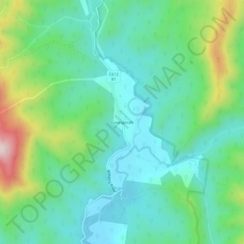
Name: Goongerah topographic map, elevation, terrain.
Location: Goongerah, Shire of East Gippsland, Victoria, Australia (-37.35126 148.68083 -37.31126 148.72083)
Average elevation: 1,115 ft
Minimum elevation: 735 ft
Maximum elevation: 2,156 ft