
At Samat topographic map
Interactive map
Click on the map to display elevation.
About this map
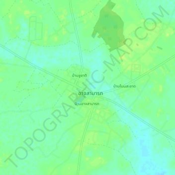
Name: At Samat topographic map, elevation, terrain.
Location: At Samat, Roi Et Province, 45160, Thailand (15.82563 103.85842 15.86563 103.89842)
Average elevation: 449 ft
Minimum elevation: 427 ft
Maximum elevation: 466 ft