
Caprés topographic map
Interactive map
Click on the map to display elevation.
About this map
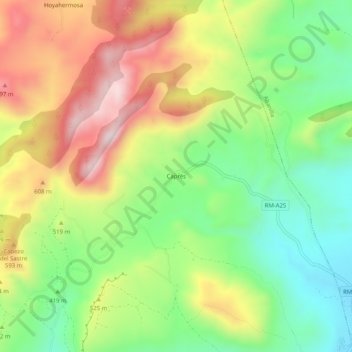
Name: Caprés topographic map, elevation, terrain.
Location: Caprés, Fortuna, Orientale, Région de Murcie, 30626, Espagne (38.21057 -1.15741 38.25057 -1.11741)
Average elevation: 1,549 ft
Minimum elevation: 778 ft
Maximum elevation: 2,533 ft