
Freusburg topographic map
Interactive map
Click on the map to display elevation.
About this map
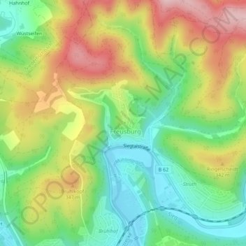
Name: Freusburg topographic map, elevation, terrain.
Average elevation: 938 ft
Minimum elevation: 614 ft
Maximum elevation: 1,365 ft
Die Freusburg ist eine frühmittelalterliche Höhenburg auf einer Bergkuppe hoch über dem Tal der Sieg in Freusburg, einem Stadtteil von Kirchen im Landkreis Altenkirchen (Westerwald) in Rheinland-Pfalz. Nach der Höhenburg ist die naheliegende Siedlung Freusburg benannt.