
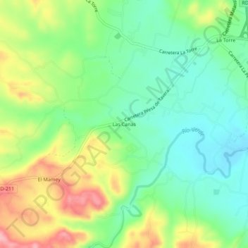
Las Canas topographic map
Interactive map
Click on the map to display elevation.
About this map
Name: Las Canas topographic map, elevation, terrain.
Location: Las Canas, La Vega, 41009, República Dominicana (19.31122 -70.64147 19.35122 -70.60147)
Average elevation: 778 ft
Minimum elevation: 600 ft
Maximum elevation: 1,073 ft