
Phang-nga topographic map
Interactive map
Click on the map to display elevation.
About this map
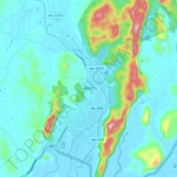
Name: Phang-nga topographic map, elevation, terrain.
Location: Phang-nga, Phang-nga Province, Thailand (8.40399 98.48703 8.48399 98.56703)
Average elevation: 187 ft
Minimum elevation: -3 ft
Maximum elevation: 1,611 ft