
Quart topographic map
Interactive map
Click on the map to display elevation.
About this map
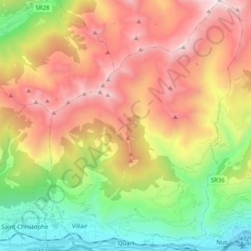
Name: Quart topographic map, elevation, terrain.
Location: Quart, Valle d'Aosta, 01102, Italia (45.73748 7.36758 45.83803 7.48136)
Average elevation: 5,679 ft
Minimum elevation: 1,637 ft
Maximum elevation: 10,430 ft