
Làng Cự Đà topographic map
Interactive map
Click on the map to display elevation.
About this map
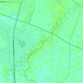
Name: Làng Cự Đà topographic map, elevation, terrain.
Location: Làng Cự Đà, 193824, Vietnam (20.91403 105.77815 20.95403 105.81815)
Average elevation: 20 ft
Minimum elevation: 3 ft
Maximum elevation: 33 ft