
Massenheim topographic map
Interactive map
Click on the map to display elevation.
About this map
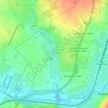
Name: Massenheim topographic map, elevation, terrain.
Location: Massenheim, Bad Vilbel, Wetteraukreis, Hessen, Duitsland (50.17844 8.70200 50.20229 8.73367)
Average elevation: 404 ft
Minimum elevation: 338 ft
Maximum elevation: 515 ft