
Cadwell topographic map
Interactive map
Click on the map to display elevation.
About this map
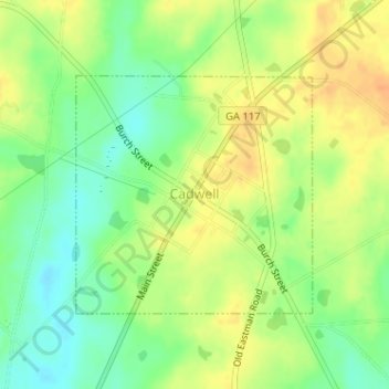
Name: Cadwell topographic map, elevation, terrain.
Location: Cadwell, Laurens County, Georgia, United States (32.33125 -83.05185 32.34780 -83.03238)
Average elevation: 348 ft
Minimum elevation: 285 ft
Maximum elevation: 404 ft
Other topographic maps
Click on a map to view its topography, its elevation and its terrain.
Dublin
United States > Georgia > Laurens County
Dublin, Laurens County, Georgia, United States
Average elevation: 233 ft