
Paramo de Santurbán topographic map
Interactive map
Click on the map to display elevation.
About this map
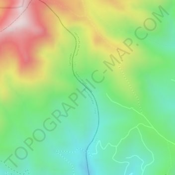
Name: Paramo de Santurbán topographic map, elevation, terrain.
Average elevation: 12,037 ft
Minimum elevation: 11,296 ft
Maximum elevation: 13,081 ft