
Ait Mansour topographic map
Interactive map
Click on the map to display elevation.
About this map
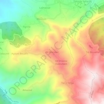
Name: Ait Mansour topographic map, elevation, terrain.
Location: Ait Mansour, Mekla, Daïra Mekla, Tizi Uzu, Algerien (36.64429 4.25537 36.68429 4.29537)
Average elevation: 1,965 ft
Minimum elevation: 617 ft
Maximum elevation: 3,320 ft