
Jubail Island topographic map
Interactive map
Click on the map to display elevation.
About this map
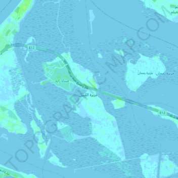
Name: Jubail Island topographic map, elevation, terrain.
Location: Jubail Island, Abu Dhabi, United Arab Emirates (24.48441 54.45805 24.57092 54.52125)
Average elevation: 0 ft
Minimum elevation: -16 ft
Maximum elevation: 26 ft
Other topographic maps
Click on a map to view its topography, its elevation and its terrain.
Saadiyat Island
United Arab Emirates > Abu Dhabi > Abu Dhabi
Saadiyat Island, Abu Dhabi, United Arab Emirates
Average elevation: 20 ft